
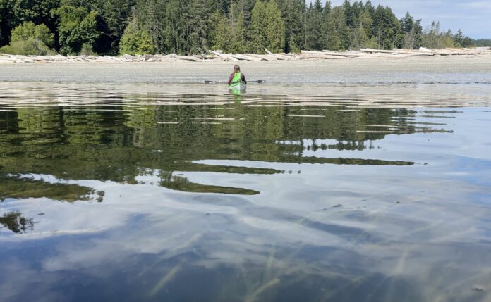
The Islands Trust’s on-again, off-again funding relationship with mapping the underwater beds of eelgrass within its boundaries is back off — this time because senior governments are already doing the work.
In fact, according to staff, there are several groups mapping eelgrass and kelp forests in the Gulf Islands, including numerous local NGOs conducting both mapping and restoration of the ecologically sensitive habitats — using extant Islands Trust mapping as a baseline, trustees heard at the Regional Planning Committee meeting Monday, Sept. 8. There has also been “relevant but limited” mapping work done recently through Malahat First Nation, Snuneymuxw First Nation and Tsawout First Nation efforts.
But most significantly, according to planning services director Stefan Cermak, there are at least two large eelgrass mapping projects being planned at the federal level — one to quantify so-called “blue carbon” in the area, and the other developing what a staff report called an “Eelgrass Explorer” system, designed to monitor healthy ecosystems to inform fisheries-related regulatory decisions.
Cermak said he’d had an “extended conversation” with Fort St. John eco-consultancy firm Hatfield Consultants, which had recently been awarded an $800,000 federal grant to map eelgrass beds in B.C.
“They’re going to make data publicly available in May of 2027, and that’s going to be eelgrass mapping at a 10-metre resolution,” said Cermak. “They’re using one satellite to do that, and a different satellite to map at a three-metre resolution, but that’s commercial data.”
The current proposed draft of the Islands Trust Policy Statement includes directive policies surrounding marine shorelands that would instruct Local Trust Committees to, in enacting bylaws, prohibit moorage of vessels in sensitive marine areas — specifically including eelgrass and kelp forests.